Prev Post
PMRDA, District Administration Push for Land Acquisition for Nashik Phata–Khed Elevated CorridorMaharashtra to Map Subdivided Land Plots in 18 Talukas Under Pilot Project
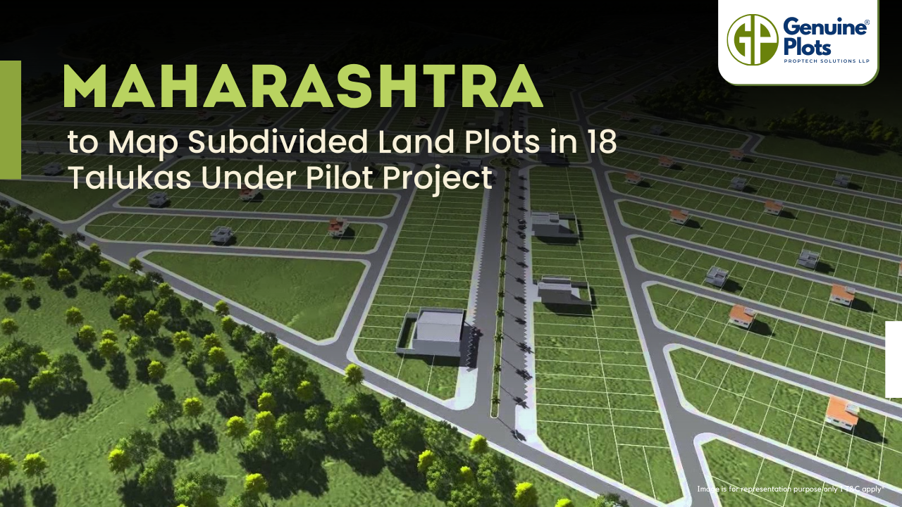
The Maharashtra Land Records Department has launched a pilot project to measure and map subdivided land plots (sub-holdings) in selected areas of the state.
Over the years, many plots have been informally subdivided, creating mismatches between the 7/12 land ownership document and official cadastral maps. The project aims to record these subdivisions accurately.
A total of 18 talukas across six revenue divisions have been chosen for the initiative, including Pune, Palghar, Raigad, Thane, Solapur, Sangli, Dhule, Jalgaon, Chandrapur, and Kolhapur.
The work will be executed by private agencies, which are currently being finalised through a tendering process.
Join The Discussion
Related posts

September 25, 2025
Purandar Airport Land Acquisition Cut to 3000 Acres
The Purandar International Airport project has been revised with land acquisition reduced from 7,000 acres to 3,000 acres. Farmers willing to give land can submit consent letters from August 25 within a 21-day window.
Continue Reading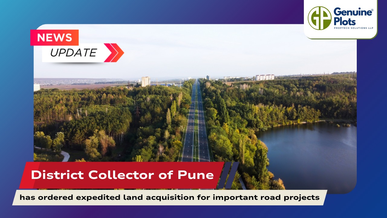
September 26, 2025
District Collector of Pune has ordered expedited land acquisition for important road projects
Officials have been instructed by Pune District Collector Jitendra Dudi to expedite the acquisition of land for several significant road and infrastructure projects in the district.
Continue Reading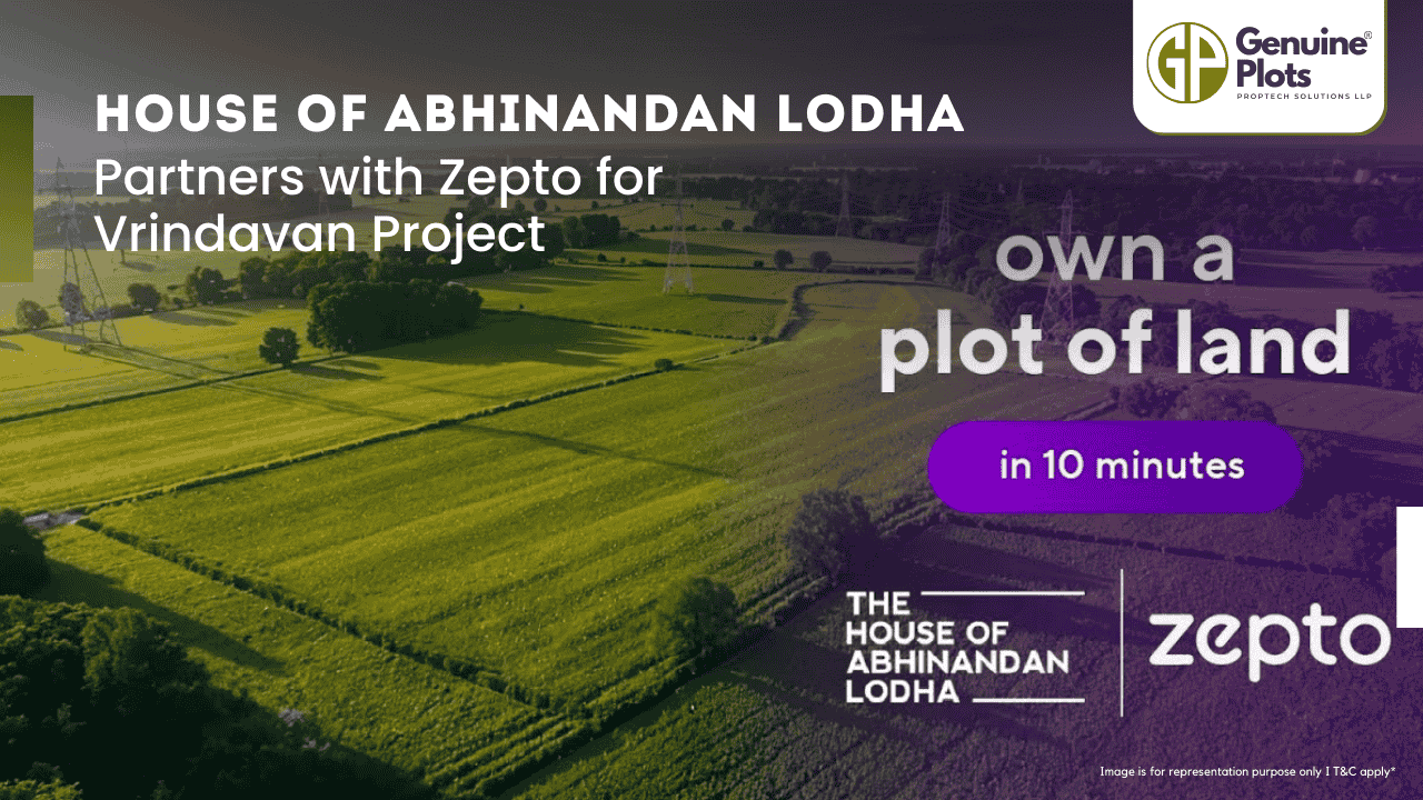
September 20, 2025
House of Abhinandan Lodha Partners with Zepto for Vrindavan Project
To provide digital access to its Vrindavan project, the House of Abhinandan Lodha (HoABL) has teamed up with Zepto, a quick-commerce platform.
Continue ReadingRecent Posts
Topics
Tags
Bhunaksha,
genuine plots,
Land For Sale,
Maharashtra Bhunaksha,
plots for sale,
Gunthewari,
Gunthewari Land,
Gunthewari Rules,
Extract Documents,
Plots and Lands,
Saat Baara,
Extract Saat,
Baara Utara,
Jamabandi,
property tax payments,
Gram Panchayat,
lower prices,
non-agricultural land,
Lower Investment Cost,
Gram Panchayat lands,
Fresh Land Settlements,
Growing demand,
affordable homes,
genuine p,
legal Land,